I recently stumbled across a map embedded on a website that contained the contact information of several consultants across the United States and I wanted this extract this information into a tabular form.
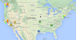
I reviewed the site’s HTML and discovered that the embedded map was produced using BatchGeo. BatchGeo allows anyone to quickly and easily upload an Excel list of locations to create a Google map with each location tagged. Each location tag may contain additional information such as name, address, phone number, email address, URL, etc.
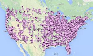
An example map produced by BatchGeo can be seen below.
All of the information I was looking for was available within the location tags; however copying and pasting each one would be tedious and time consuming.
BatchGeo uses KML (Keyhole Markup Language) to display geographic data within Google Maps. KML is a structured XML (EXtensible Markup Language) based format that is both human and machine readable. I just needed to find a way to access to it directly.
The KML file can be download from any BatchGeo map by prepending “/kml” into the map URL. The KML file for the prior map may be downloaded below.
The KML file is human and machine readable, but its not very well structured for the human and I wanted the information in Excel.
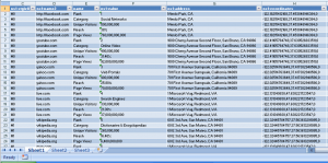
The KML files can be opened and viewed using excels XML schema. The file is not automatically opened by Excel when you double click on it; however, you can open the file from within Excel. Once you have Excel open, click on open file in the home tab, select all file types, and open the KML file. Excel converts the file for viewing. You may then sort, filter, process, and save the data as you see fit.
Before you leave don’t forget to:
- Subscribe to the blog in the right side panel.
- Share this article with your friends!
- Leave a comment


